Brzeg 2024-10-03
Railway station in Brzeg.
Geographic coordinates: 50.853N 17.471E. Elevation 147 m. Address: ulica Plac Dworcowy 3, 49-300 Brzeg.
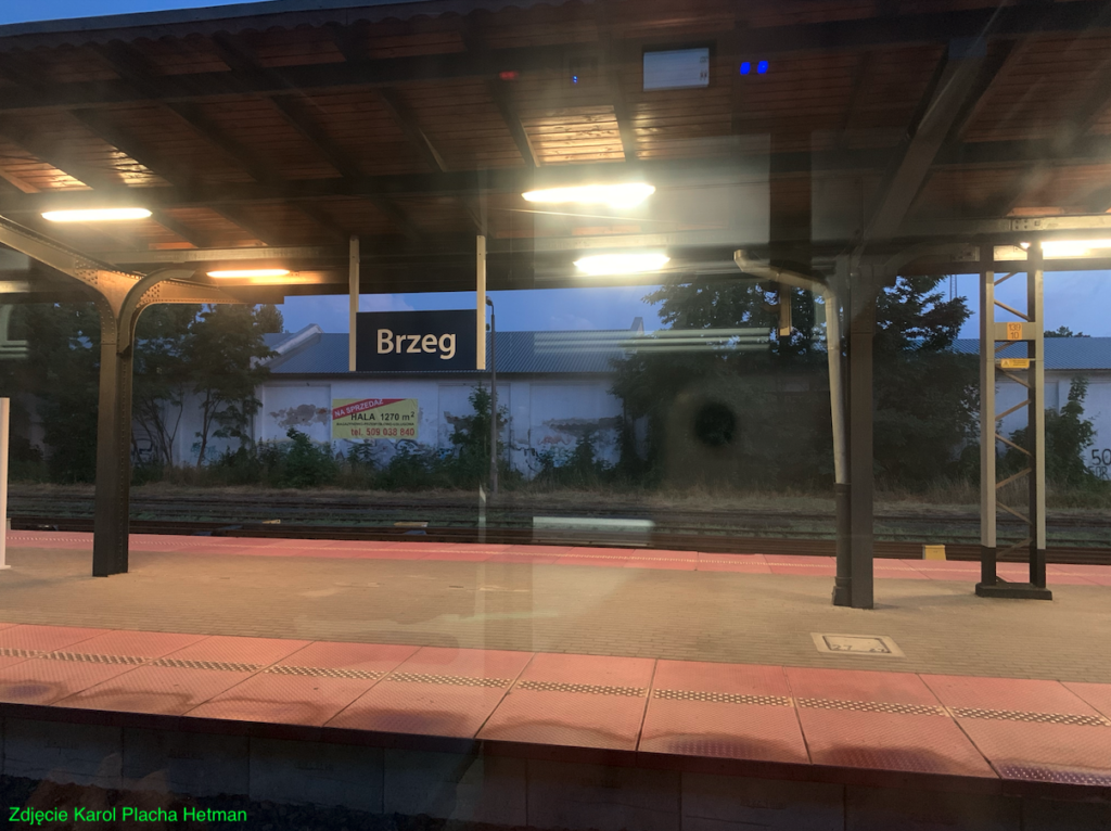
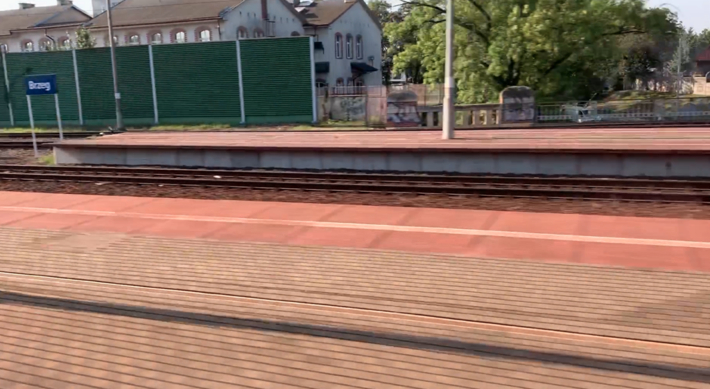

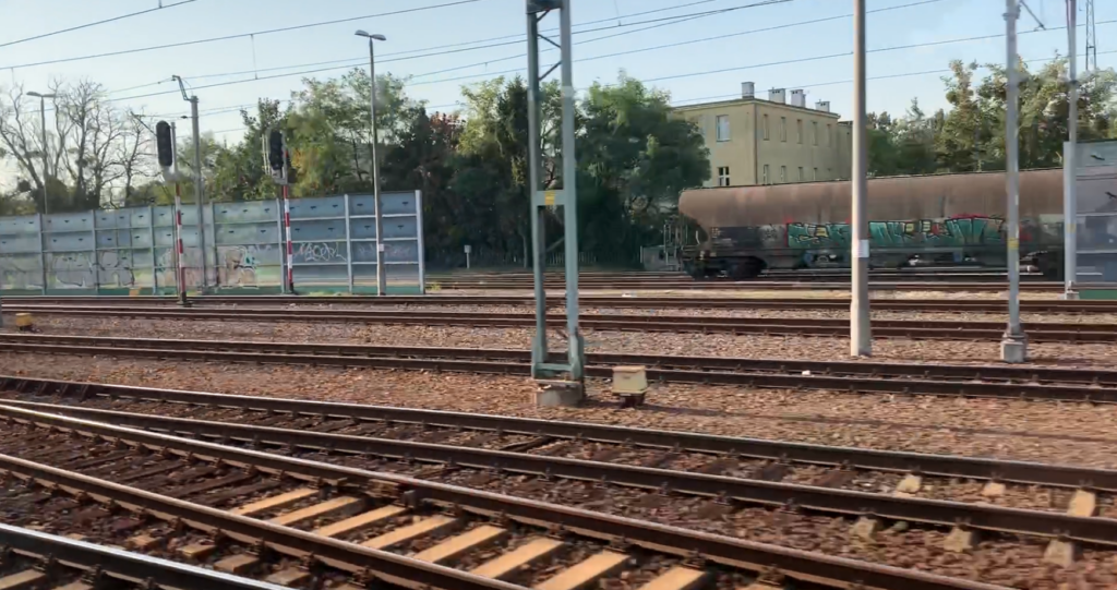
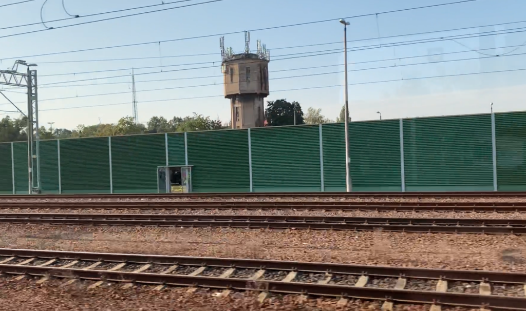
The railway station in Brzeg was launched in 1842, as part of the construction of the railway line from Wrocław to Upper Silesia. This was the time when Lower Silesia and the city of Brzeg belonged to the Prussians. The distance from Brzeg to Wrocław is 43 km, to Oława is 17 km, to Katowice is 140 km.
Brzeg is a city located in the western part of Poland, on the Oder River. The city of Brzeg was founded on the river, and the inhabitants were fishermen and raftsmen. In 1248, the city obtained city rights, thanks to Duke Henry III. In the following centuries, Brzeg was an important trade and craft center. Brzeg was part of the Piast Duchy of Brzeg, which existed from the 14th to the 15th century. After the dissolution of the duchy, as a result of partitions, Brzeg came under the rule of various rulers, including the Czechs and the Habsburgs. In the 16th century, Brzeg was often the scene of battles between the Habsburgs and other European powers. As a result of the wars between the Habsburgs and the Prussians, the city was repeatedly destroyed. In the 18th century, as a result of the Silesian Wars, Brzeg became part of the Kingdom of Prussia, and then the German Empire. During this period, the city’s infrastructure developed and a railway line was built. After the end of World War II, Brzeg was incorporated into Poland. New industrial plants and public utility buildings were built in the city. Currently (2023), the city is investing in the development of infrastructure, education and tourism. Brzeg is an attractive tourist destination with many monuments, including a castle, churches and representative tenement houses.
In the period 2009-2010, the station in Brzeg was modernized. The platforms and the entire track system were renovated over a length of about 4,500 m. The rail traffic control system was changed. The value of the works carried out amounted to PLN 154 million. The opening ceremony of the station after modernization was held on January 12, 2010.
The first building of the railway station, built in 1844, has not survived to this day. The current station building was built in 1870, replacing the first station building. The distance from the station to the city center is about 600 m. Thanks to this, a walk from the station to the city center is only 10 minutes. Bringing the railway line to the city had a positive impact on its development. On March 28, 1986, the station was entered on the list of monuments under the number 2120/86. The station building is one of the city’s showpieces.
The building was erected on the plan of an elongated rectangle, measuring 84 m x 13 m. It was made entirely of clinker brick, not plastered on the outside. The plaster was applied inside. The building is multi-body, with three projections, and each projection is three-axis. The building is two-storey, without a basement. It was covered with hipped and gable roofs, covered with galvanized sheet metal. The central block is the main hall of the station, with three representative entrances and three large windows repeated above them. A decorative roof was placed above the entrance. Numerous half-pillars and cornices not only give the building an attractive appearance, but also strengthen the entire structure. The windows of the first floor are topped with arches. Numerous ornaments made of clinker were built into the elevation. There are numerous plant motifs, but also figures of Athena, Hermes and Hephaestus. The building contains ticket and baggage offices, waiting rooms, restaurants, railway service rooms and apartments.
In the period 2010-2012, the station building was renovated. The window and door joinery was replaced. The roof covering of the building and the interior of the representative ticket hall were also renovated. The clinker ornaments on the building’s façade were renovated with special care. The main hall houses ticket offices, a waiting room, toilets and shops. The opening ceremony took place on 9 February 2012.
To the west of the station, there is a post office building, currently occupied by the Polish Post Office. The building was made in the same style as the station.
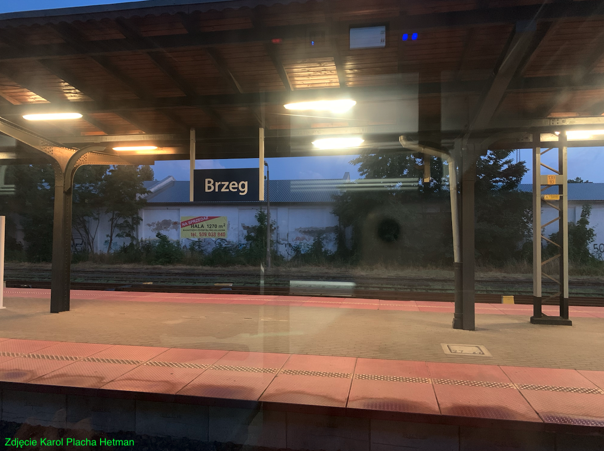
Platforms. Currently, the station has two island platforms and four platform edges. Platform 1 is 385 m long and has a 125 m long roof. Platform 2 is 247 m long and has an 87 m long roof. The passenger tunnel under the platforms was built around 1880. It starts in the main station hall and leads to both platforms.
Currently (2023) the station consists of two parts. On the eastern side there is a passenger section with two platforms, and on the western side a freight section. Next to this part there is a locomotive shed, which is still partly used as a railway shed. There is a shed and an active turntable here. Next to it are unloading tracks and storage yards. The rest of the former railway facilities have already changed their purpose. An unused water tower has been preserved.
The railway station has never hindered local traffic in the city, because tunnels were built relatively quickly under the tracks, along the streets: Starobrzeska, 1 Maja, Chocimska (DK Nr 39), Kilińskiego, Małujowicka. The last rail-road crossing, along Kolejowa Street, has been liquidated. The tunnels of Starobrzeska and 1 Maja Streets are of identical construction, supported on iron, riveted pillars.
In 2022, the station served 3,600 passengers per day. The station is served by trains launched by PKP InterCity in the following categories: InterCity, Express InterCity Premium, Twoje Linie Kolejowe and by PolRegio. In December 2023, 70 passenger trains departed from the station. You could travel to: Białystok, Bielsko-Biała Główna, Bydgoszcz Główna, Gdynia Główna, Jelenia Góra, Katowice, Kędzierzyn-Koźle, Kraków Główny, Kudowa-Zdrój, Lublin Główny, Nysa, Opole Główne, Poznań Główny, Przemyśl Główny, Racibórz, Słupsk, Szczecin Główny, Szklarska Poręba Górna, Świnoujście, Ustka, Warsaw Gdańska, Warsaw Wschodnia, Wrocław Główny, Zakopane, Zielona Góra Główna.
Railway line No. 132 Bytom – Wrocław Główny.
Railway line No. 132 Bytom – Wrocław Główny is 164.434 km long, double-track, electrified, with a maximum speed of 160 km/h. The line runs through the Silesian, Opole and Lower Silesian Voivodeships. The line is a section of line E 30, and between Pyskowice and Opole of line CE-30. These lines form the III pan-European transport corridor. By 2011, the Wrocław – Opole section was modernized to a speed of 160 km/h for passenger trains. This section of the line, together with the CMK and the Koniecpol prosthesis, is the fastest connection between Wrocław and Warsaw.
Railway line No. 288 Nysa – Brzeg.
Railway line No. 288 Nysa – Brzeg is a line in the south-north direction. The line is single-track, non-electrified, which connects three cities: Nysa – Gródków – Brzeg. The entire line lies in the Opole province. The line was opened on July 25, 1847, on the Brzeg – Pakosławice section, and on November 26, 1848, on the Pakosławice – Nysa section. In history, long-distance trains from Wrocław to Czechoslovakia ran on the line. In 2005, passenger traffic on the line was suspended. In 2010, trains on the Brzeg – Nysa route were restored, which were operated by SU45 locomotives with one or two passenger cars. In 2015, railbuses were introduced. The maximum speed on the line is 40 – 80 km/h.
Railway line No. 304 Brzeg – Małujowice.
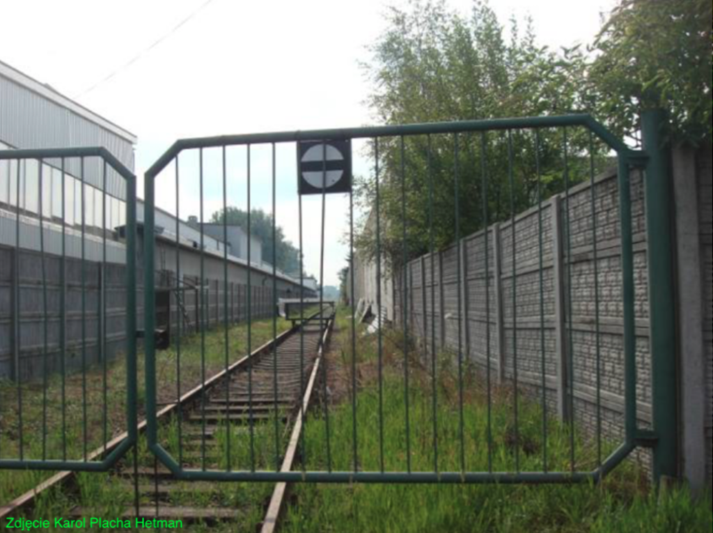
Railway line No. 304 Brzeg – Małujowice is a single-track, non-electrified line, only 6.853 km long, with a maximum speed of 40 km/h. The line is of local importance and connects the Brzeg station with the plants built on the site of the former Soviet Brzeg airport. The line was originally 50.645 km long and connected Brzeg – Wiązów – Strzelin – Łagiewniki Dzierżoniowskie. The line was opened in stages: Głęboka Śląska – Wiązów, 5.7 km long, was opened on May 1, 1893; Strzelin – Kondratowice, 9.6 km long, was opened on August 10, 1893; The 7.4 km long Kondratowice – Łagiewniki Dzierżoniowskie section was opened on November 10, 1893; the 6.7 km long Strzelin – Głęboka Śląska section was opened on May 15, 1894; and the 21.1 km long Wiązów – Brzeg section was opened on September 15, 1910. On September 1, 1989, traffic was completely stopped. In 2005, the Strzelin – Łagiewniki Dzierżoniowskie section was removed from the railway records. In 2018, work was undertaken to restore freight traffic in the Strzelin area to transport aggregate from mines (quarries) in order not to degrade the road roads.
Written by Karol Placha Hetman
Leave a Reply
You must be logged in to post a comment.