Rail Station
-
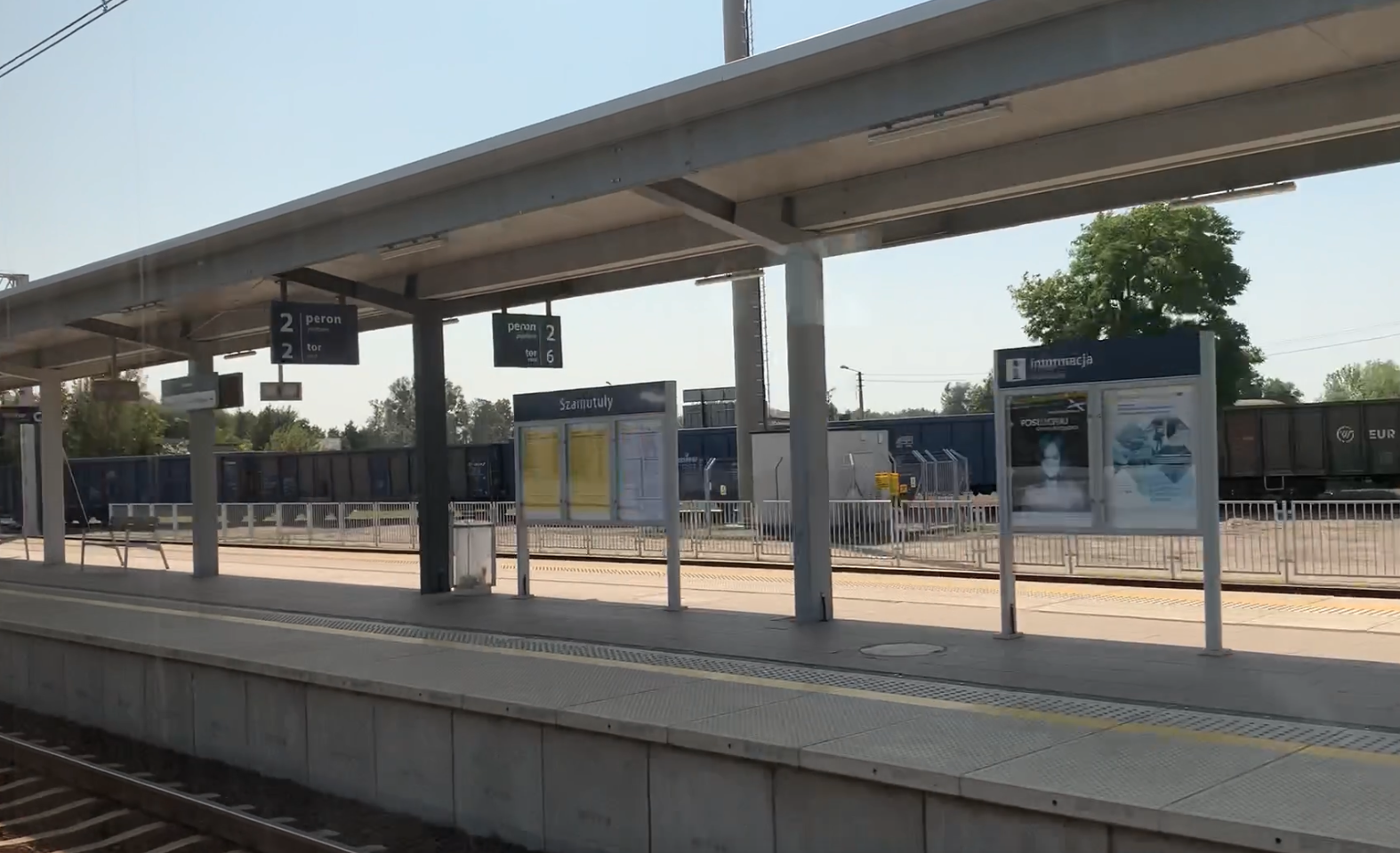
PKP Szamotuły. 2024
Szamotuły 2024-10-24 Szamotuły Railway Station. Geographic coordinates: 52.603N 16.585E. Elevation 68.00 m (223.10 ft). Address Dworcowa Street 40, 64-500 Szamotuły. Szamotuły is a city in the Wielkopolska Province, in the Szamotuły district, in the Szamotuły commune, 33 km from Poznań, to the north-west. The city’s area is 11.08 km2. The city’s population is 18,398 inhabitants…
-
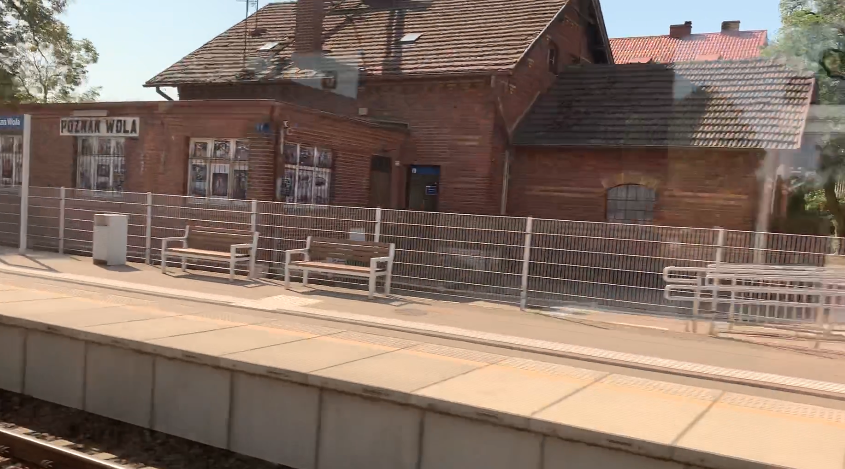
PKP Poznań Wola. 2024
Poznań 2024-10-23 Poznań Wola Railway Station. Geographic coordinates: 52.434N 16.849E Elevation 87 m (285.43 ft). Address ulica Sytkowska 34, 60-413 Poznań. The station was built on the railway line No. 351 Poznań Główny – Szczecin Główny, at 6.531 km. Currently, the station is located within the administrative boundaries of Poznań. Railway line No. 351 Poznań…
-
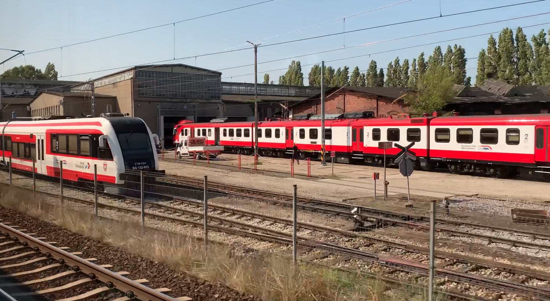
Poznań Główny Passenger Locomotive Depot. 2024
Poznań 2024-10-22 Poznań Główny Passenger Locomotive Depot. Geographic coordinates: 52.388N 16.906E. Elevation 76 m (249.34 ft). Address: Kolejowa Street. Poznań. Poznań Główny Passenger Locomotive Depot is actually called Poznań Główny Passenger Locomotive Depot. This is an example of the specificity of naming in Wielkopolska, and especially in Poznań. Here, the name “parozoownia” is still used…
-
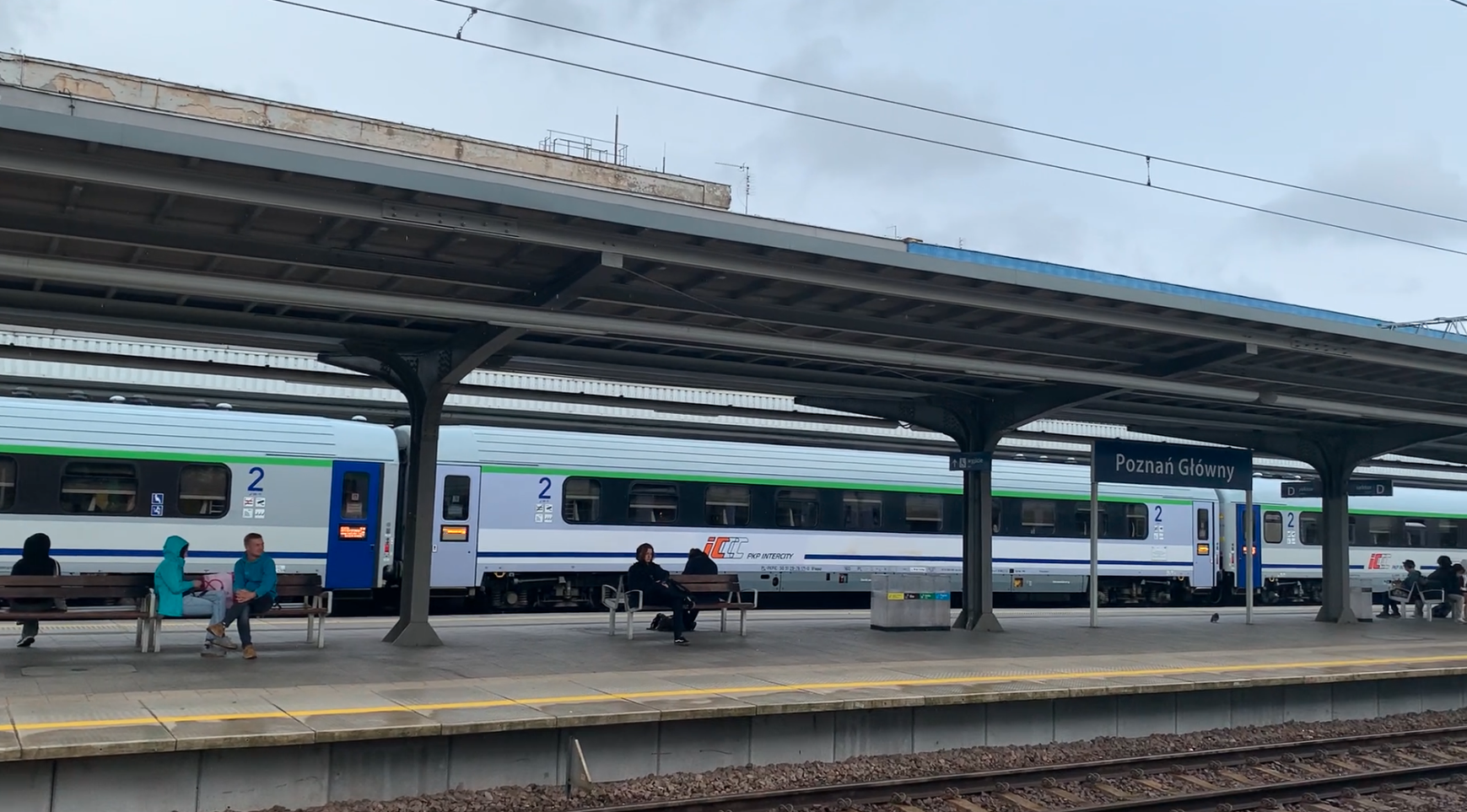
PKP Poznań Główny. 2024
Poznań Główny 2024-10-21 Poznań Główny Railway Station. Geographic coordinates: 52.402N 16.911E. Elevation 79 m (259.19 ft). Address: Dworcowa Street 2, 61-801 Poznań. The Poznań railway junction is one of the key points on the Polish railway map, both in terms of passenger and freight traffic. The Poznań railway junction, like no other in Poland, is…
-
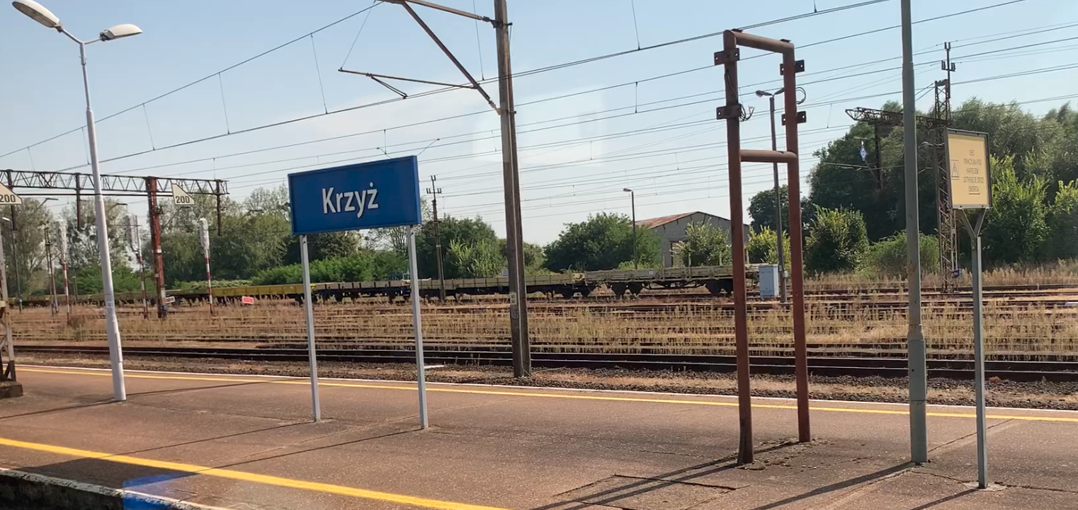
PKP Krzyż Wielkopolski. 2024
Krzyż Wielkopolski. 2024-10-15 Krzyż Wielkopolski Railway Station. Geographic coordinates: 52.875N 16.011E. Elevation 32.00 m (104.99 ft). Address Tadeusza Rejtana Street at the exit of Wojska Polskiego Street. Krzyż Wielkopolski. Krzyż Wielkopolski Commune. Krzyż Wielkopolski Commune is located in the Wielkopolska Province near the border with the Lubuskie Province and is part of the Czarnkowsko-Trzcianecki District.…
-
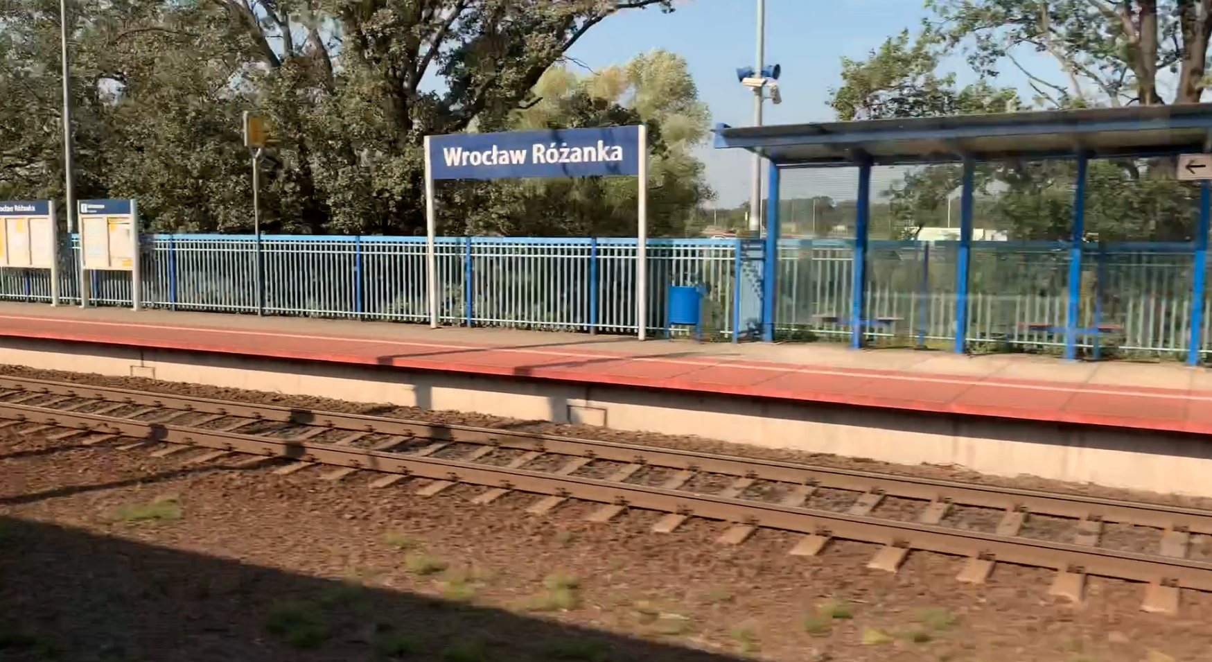
PKP Wrocław Różanka. 2024
Wrocław 2024-10-11 Passenger stop Wrocław Różanka. Geographic coordinates: 51.137N 17.003E. Elevation 114 m (374.02 ft). Address Osobowicka Street, Wrocław, Osobowice-Rędzin district. The passenger stop is located on LK No. 271 Wrocław Główny – Poznań Główny, on its 6.397 km. In the direction of Wrocław, there is the Wrocław Popowice station, and in the direction of…
-
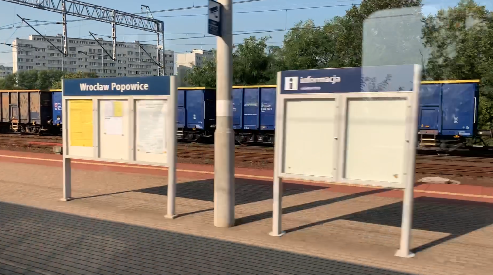
PKP Wrocław Popowice. 2024
Wrocław 2024-10-11 Wrocław Popowice Railway Station. Geographic coordinates: 51.126N 17.001E. Elevation 116 m (380.58 ft). Address ulica Starograniczna 54-237 Wrocław. Popowice is currently a housing estate in the north-western part of Wrocław, in the former Fabryczna district. The estate has been within the borders of Wrocław since 1897. The name Popowice comes from the word…
-
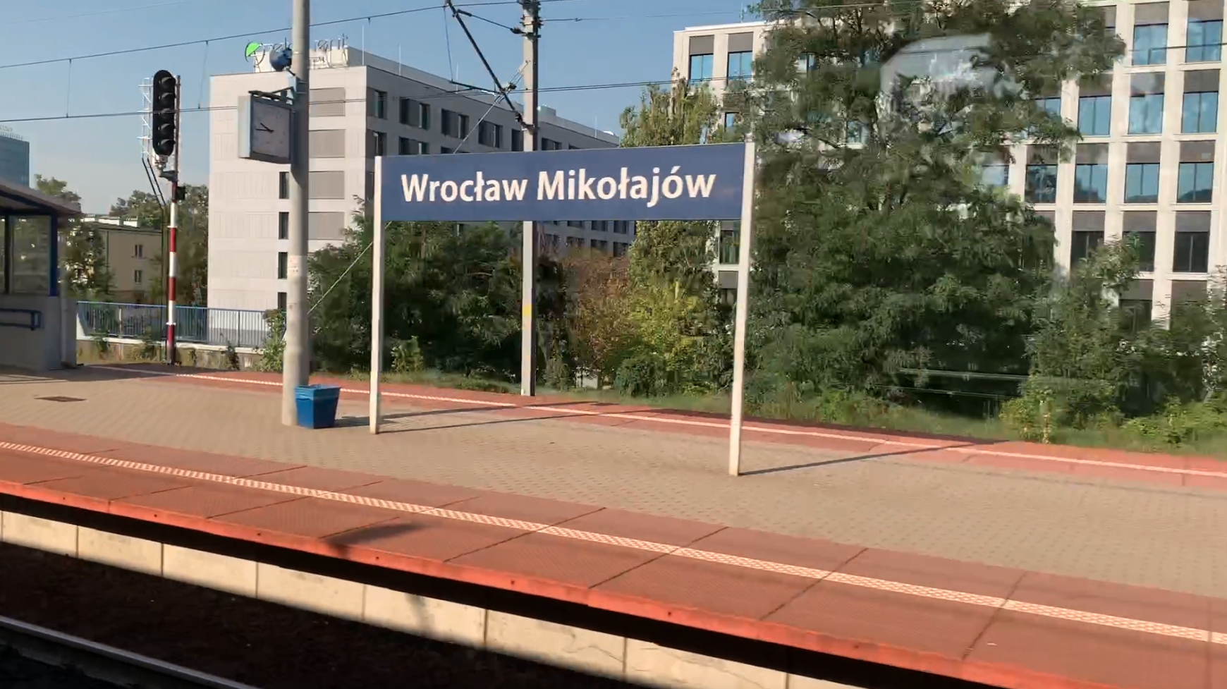
PKP Wrocław Mikołajów. 2024
Wrocław 2024-10-10 Wrocław Mikołajów Railway Station. Geographic coordinates: 51.116N 16.998E. Elevation 125 m (410.11 ft). Address ulica Stacyjna 5, Wrocław. Wrocław Mikołajów station was built relatively late, in 1906, in Germanic Wrocław, on the existing Wrocław–Poznań railway line (currently LK No. 271). The station received the Germanic name Breslau Nicolaitor. The station was built on…
-

PKP Oława. 2024
Oława 2024-10-03 Railway station in Oława. Oława is a railway station on the Wrocław-Opole route, on the railway line No. 132 Wrocław-Bytom. Geographic coordinates 50.927N 17.305E. Elevation 134 m. Address: Kolejowa Street 1, 55-200 Oława. The railway symbol of the city of Oława is that the Wrocław – Oława railway line was the first railway…
-
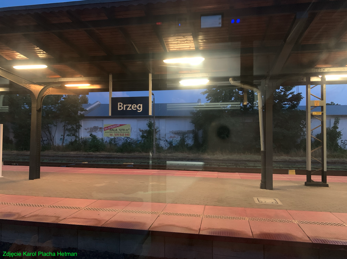
PKP Brzeg. 2024
Brzeg 2024-10-03 Railway station in Brzeg. Geographic coordinates: 50.853N 17.471E. Elevation 147 m. Address: ulica Plac Dworcowy 3, 49-300 Brzeg. The railway station in Brzeg was launched in 1842, as part of the construction of the railway line from Wrocław to Upper Silesia. This was the time when Lower Silesia and the city of Brzeg…