Rail Station
-
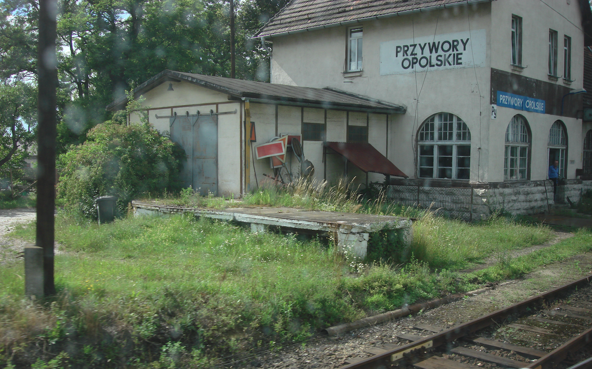
PKP Przywory Opolskie. 2025
Opole 18-04-2025. Przywory Opolskie railway station. The town of Przywory. Przywory is a town in Poland, in the Opole Voivodeship, Opole County, Tarnów Opolski Commune. The town functions as a village. In 2021, the town had 1,012 inhabitants. The town has an unofficial coat of arms. There are several symbols on the blue shield: a…
-
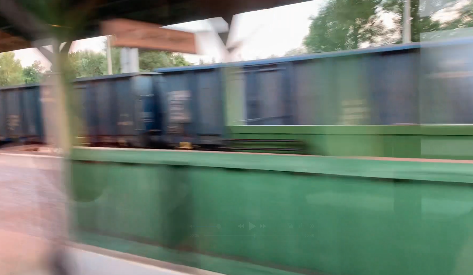
PKP Zbąszyń, Zbąszynek. 2025
Zbąszyń 15-04-2025. Railway stations Zbąszyń, Zbąszynek. Zbąszyń – Geographic coordinates: 52.259N 15.893E. Elevation 56 m. Address: Plac Dworcowy 64-360 Zbąszyń. Zbąszynek – Geographic coordinates: 52.242N 15.818E. Elevation 77 m. Address: Dworcowa, 66-210 Zbąszynek. Zbąszyń is a city in Poland, in the Wielkopolska province, in the Nowy Tomyśl district, in the Zbąszyń commune. The city operates…
-
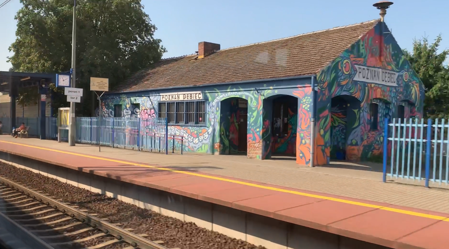
PKP Poznań Dębiec. 2025
Poznań 2025-04-11 Passenger stop Poznań Dębiec. PKP Poznań Dębiec is a passenger stop that was launched in October 1933, i.e. during the Second Polish Republic. Until 1933, the passenger stop was located a few hundred meters further towards Poznań, but due to the reconstruction of the track system of the Poznań railway junction, it was…
-
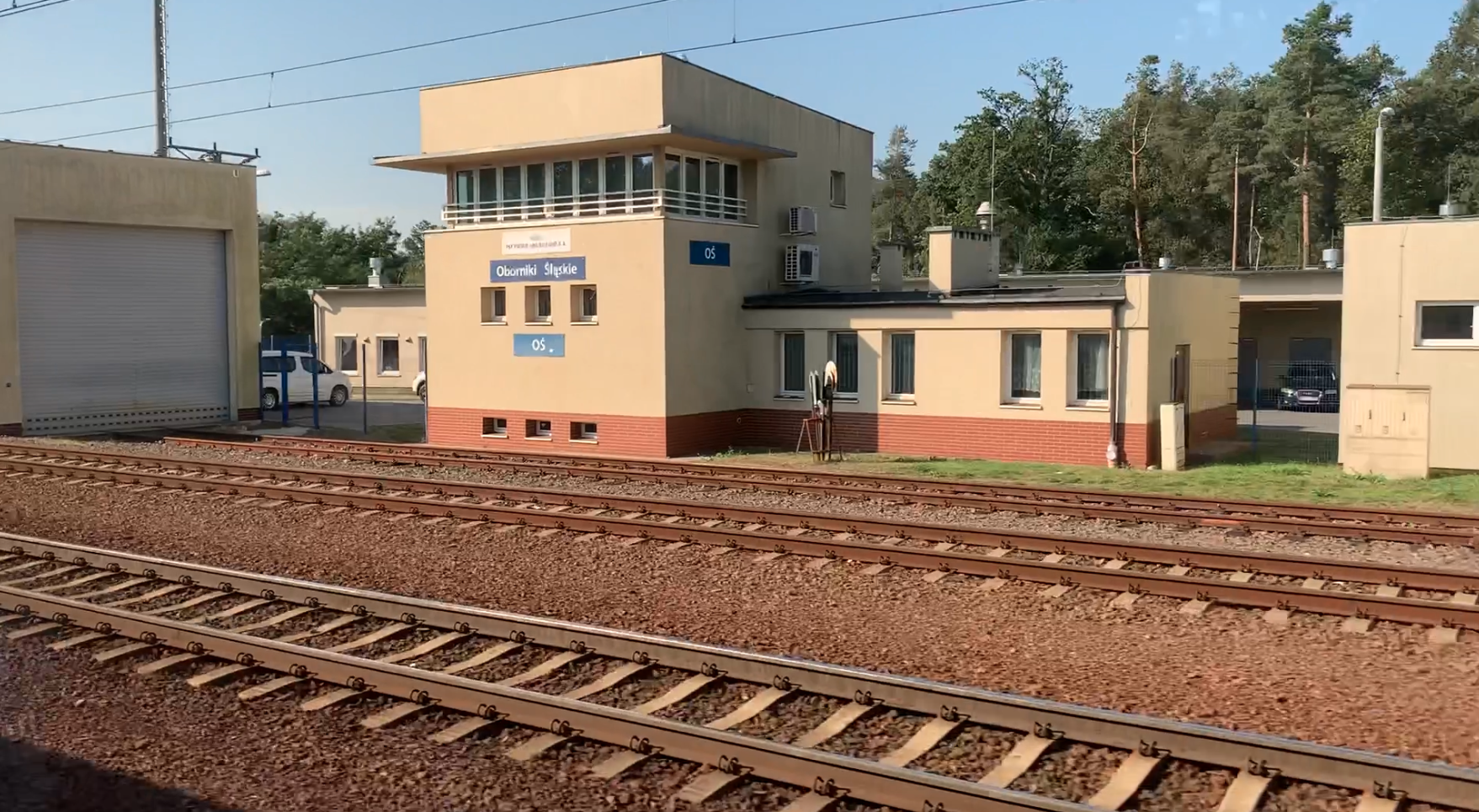
PKP Oborniki Śląskie. 2025
Oborniki Śląskie 2025-04-11 Oborniki Śląskie railway station. Oborniki Śląskie is a city in Poland, in the Lower Silesian Voivodeship, in the Trzebnica district, in the Oborniki Śląskie commune. The city has the rights of a rural-urban commune. The city has an area of 14.41 km2. The city’s population is 9,027 inhabitants (2023). City office: ul.…
-
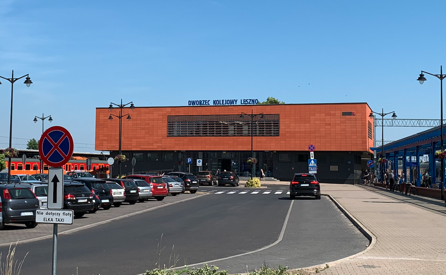
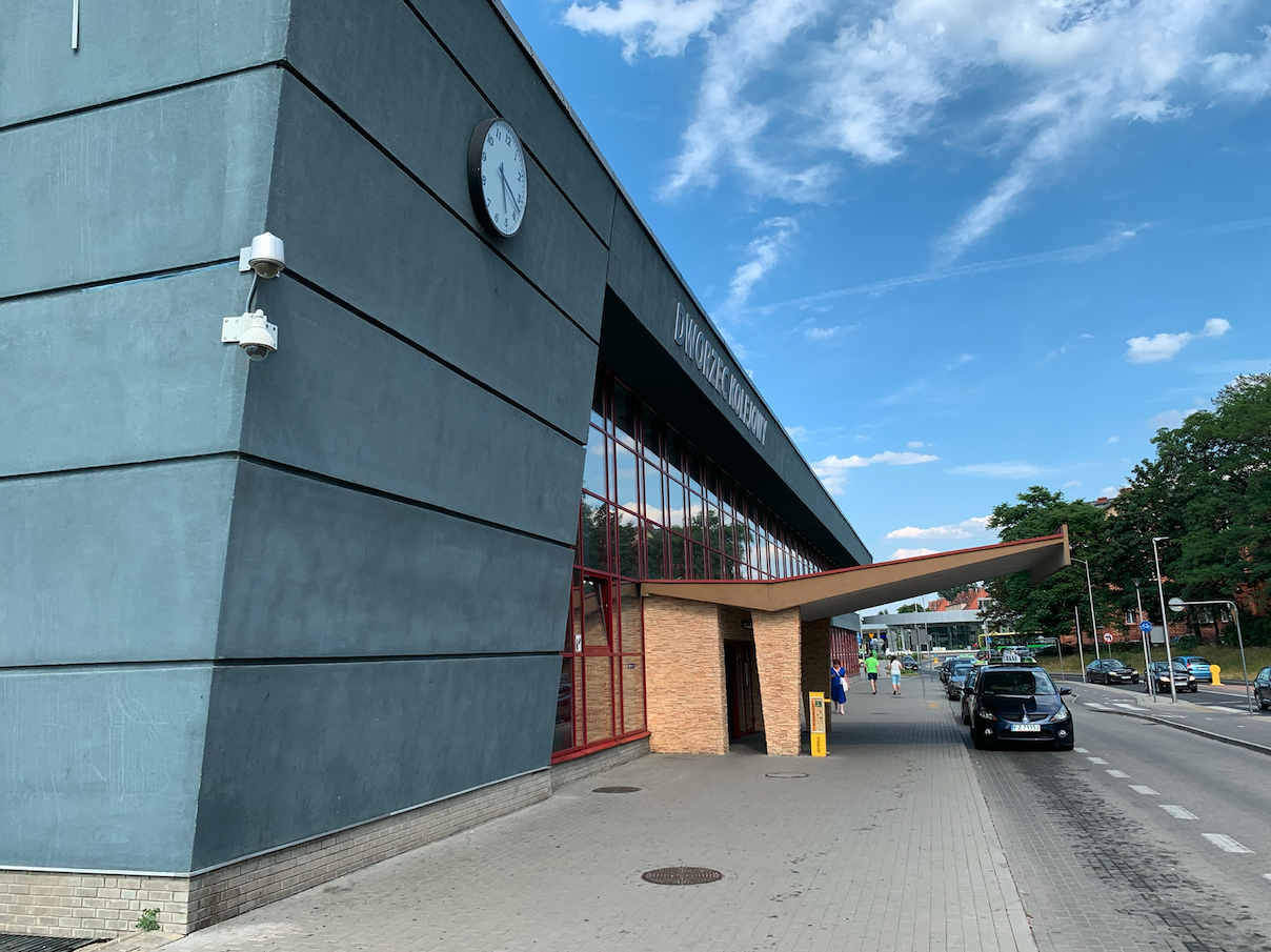
PKP Leszno. 2025
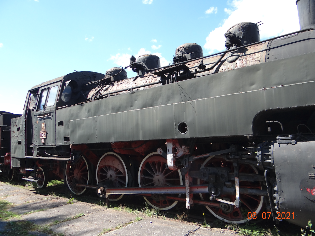
Leszno 2025-04-10 Railway in Leszno. In 1853, a decision was made to build a railway line connecting Poznań with Wrocław. The initiative was taken by the Poznań railway company. The line was to connect Northern Pomerania (Szczecin, Krzyż) with Lower Silesia (Dresden – Wrocław – Gliwice route). The concession for the construction of the Poznań…
-
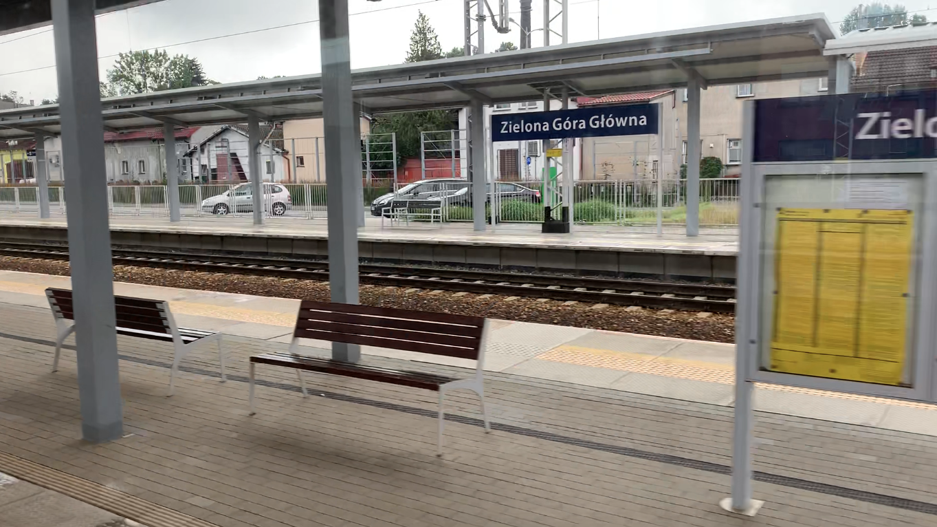
PKP Zielona Góra. 2023
Zielona Góra 2023-01-01 Zielona Góra Główna Railway Station. Geographic coordinates: 51.947N 15.511E. Zielona Góra Station is described in the previous Chapter “PKP Zielona Góra. 2022.” This Chapter is a supplement to information about the interesting city of Zielona Góra and the large railway junction. Zielona Góra Główna Station. The station is located at Dworcowa Street…
-
PKP Czerwieńsk near Zielona Góra. 2025
Zielona Góra 2025-04-07 The city Czerwieńsk. Czerwieńsk is a city in Poland with the rights of an urban-rural commune, in the Lubuskie Voivodeship, in the Zielona Góra district. The area of the city is 9.36 square kilometers. The population is 3,988 inhabitants (2019). Previously, the city was called Czerwieńsk Odrzański. The city is located at…
-
PKP Zielona Góra Główna. 2022r.
Zielona Góra 2022-06-09 Zielona Góra Główna railway station. Geographic coordinates of Zielona Góra: 51.947N 15.511E. Elevation 128 m. Zielona Góra is a historic city in Lower Silesia. Currently, it is the largest city in the Lubusz Land. Zielona Góra is the capital of the Zielona Góra – Gorzów Diocese. According to data from the Central…
-
PKP Wrocław Leśnica. 2025
Wrocław 2025-04-03 Wrocław Leśnica. Leśnica is currently a district of Wrocław. Leśnica was incorporated into the city on April 1, 1928. In 2017, the district had 28,082 inhabitants. In Germanic times, the district was called Deutsch Lissa. It is over 15 km from Leśnica to the center of Wrocław. The settlement was established on the…
-

PKP Wrocław Nowy Dwór. 2025
Wrocław 2025-04-03 PKP Wrocław Nowy Dwór. Wrocław Nowy Dwór Railway Station; Address Żernicka Street, 54-438 Wrocław. Geographic coordinates: 51.120 N 16.952 E. Elevation 120 m. Currently a passenger stop. The Wrocław Nowy Dwór railway station is located in the western part of the city of Wrocław, between the housing estates; Nowy Dwór and Kuźniki. As…