Karol
-
PKP Stargard. 2024
Stargard 2024-11-06 Stargard Railway Station. Geographic coordinates: 53.341N 15.031E. Elevation 33 m (108.27 ft). Address: DWORCOWA 2, 73-110 STARGARD. Photo description: At the bottom, LK No. 202 Gdańsk Główny – Stargard. At the semaphores, LK No. 351 Poznań Główny – Szczecin Główny. Next, LK No. 411 Stargard – Pyrzyce. The city of Stargard. Stargard is…
-
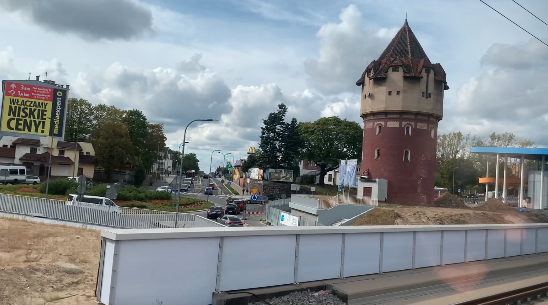
ZNTK “Stargard” then Rail Vehicle Plants in Stargard. 2024
Stargard 2024-05-21 Stargard an der Ihna railway station. Geographic coordinates: 53.345N 15.022E. Elevation 31 m. In 1844, i.e. in Prussian times, the Stargard railway station was opened. The name Stargard is the current name. Initially, it was Stargard Pomorski, then Starogród nad Iną, then Stargard Szczeciński and since 2016, Stargard. At that time, a railway…
-
PKP Dolice near Stargard. 2024.
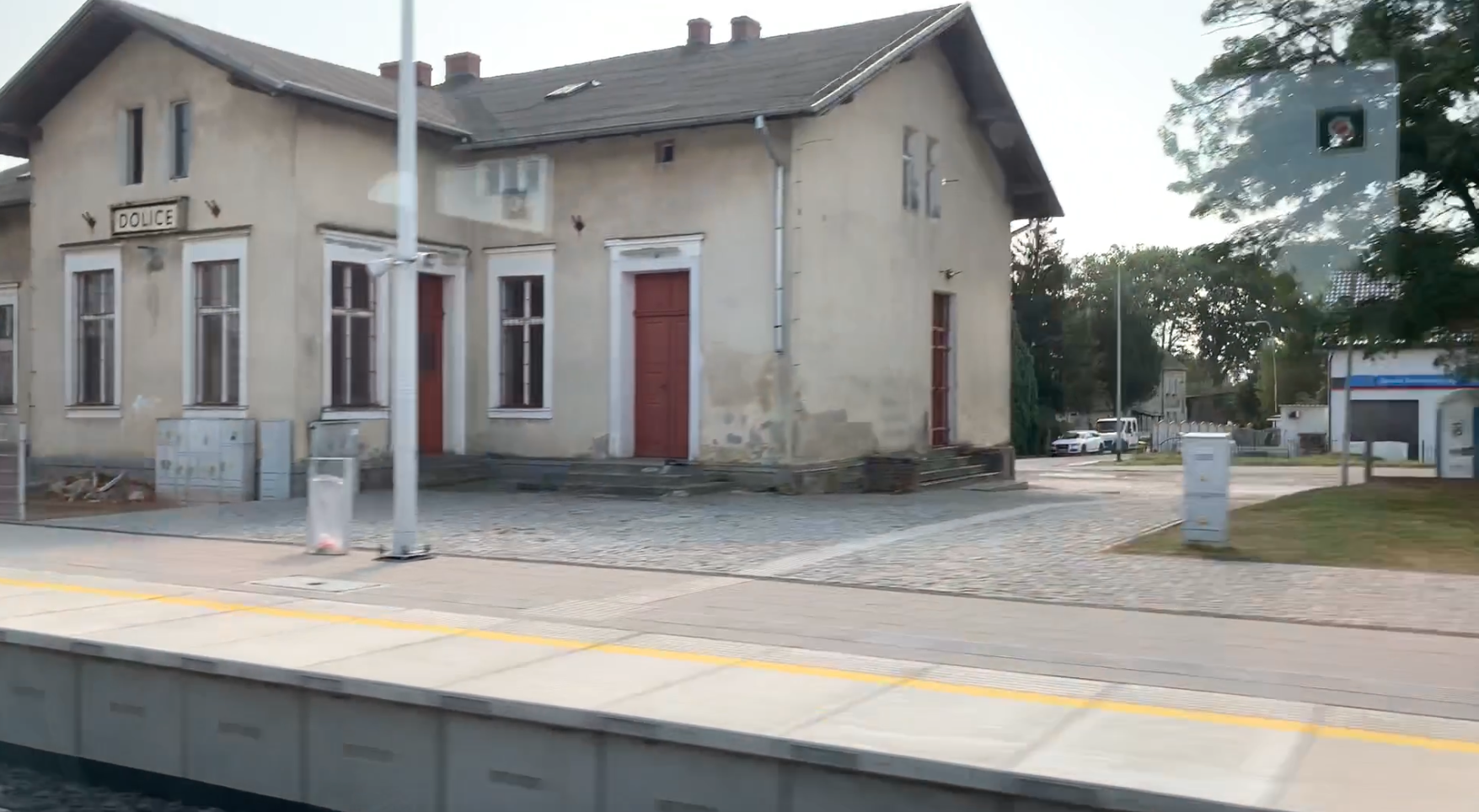
Dolice 2024-11-05 Dolice Railway Station near Stargard. Geographic coordinates: 53.198N 15.210E. Elevation 40.00 m (131.23 ft). Address DWORCOWA 11, 73-115 DOLICE. The village of Dolice. Dolice is a village in Poland, in the West Pomeranian Voivodeship, in the Stargard district, Dolice commune. The population of the village is 1,783 inhabitants in 2022. From Dolice to…
-
PKP Choszczno. 2024
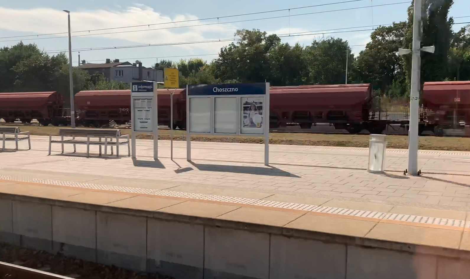
Choszczno. 2024-11-04 Choszczno Railway Station. Geographic coordinates: 53.165N 15.402E. Elevation 58 m (190.29 ft). Station address: ulica KOLEJOWA 1. 73-200 CHOSZCZNO. The city of Choszczno. Choszczno is a city in northwestern Poland, in the West Pomeranian Voivodeship. The city has an area of 9.58 km2. The population is 13,986 (2023). In Germanic times, the city…
-
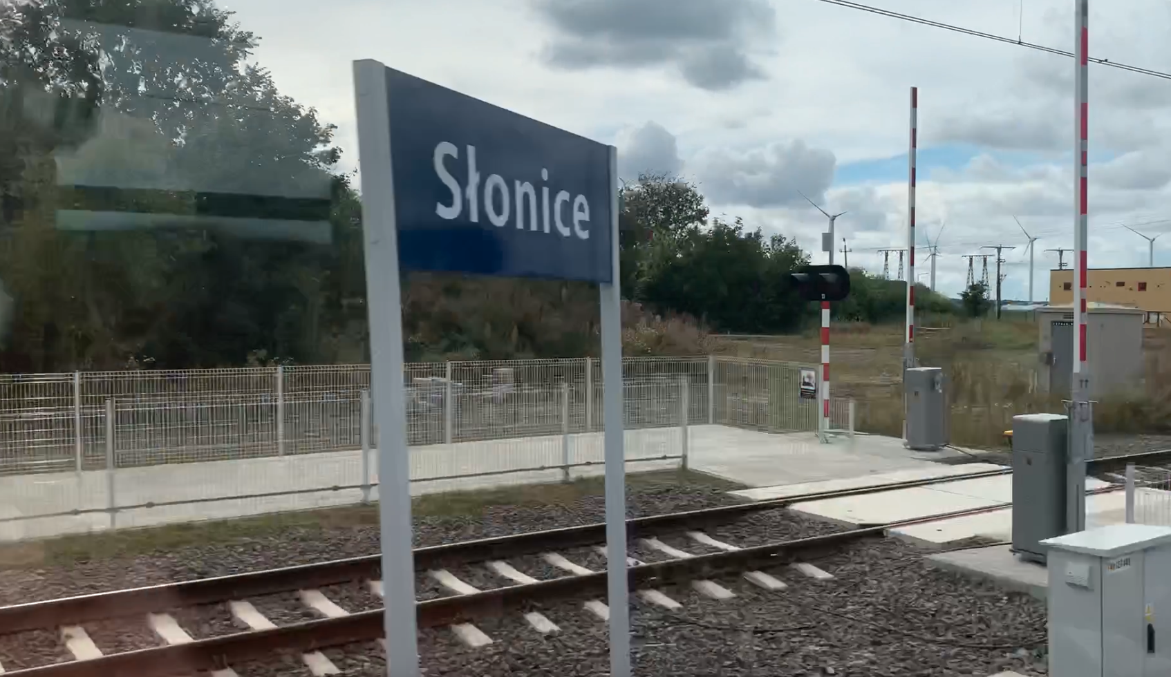
PKP Słonice. 2024
Słonice 2024-10-30 Słonice Railway Station. Geographic coordinates: 53.091N 15.518E. Elevation 84.00 m (275.59 ft). Address Railway Station: SLONICE, 73-231 KRZĘCIN. Słonice village. The Słonice settlement is a small village in the West Pomeranian Voivodeship, in Choszczno County, Krzęcin commune. In Germanic times, it was called Kleeberg. In 2007, 82 people lived here. There are agricultural…
-
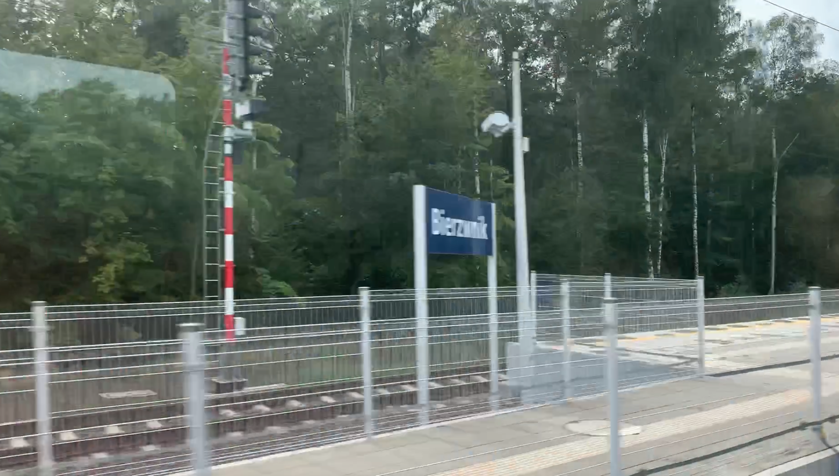
PKP Bierzwnik. 2024
Bierzwnik 2024-10-30 Bierzwnik Railway Station. Geographic coordinates: 53.024N 15.657E. Elevation 77.00 m (252.62 ft). Address Dworzec kolejowy 3, 73-240 Bierzwnik. Bierzwnik village. Bierzwnik village is located in the West Pomeranian Voivodeship, in Choszczno County, Bierzwnik Commune. The village forms a village council together with the Smędowa colony. The population of the village was 1,106 people…
-
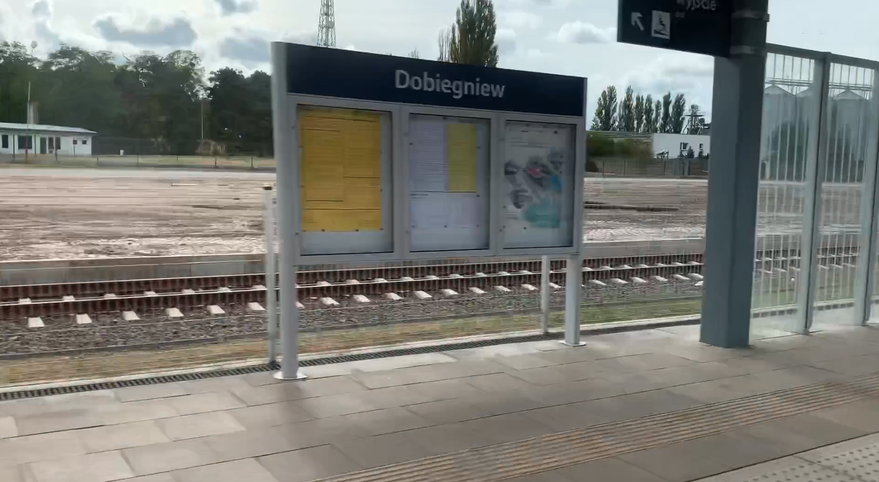
PKP Dobiegniew. 2024
Dobiegniew 2024-10-30 Dobiegniew Railway Station. Geographic coordinates: 52.968N 15.746E. Elevation 67 m (219.82 ft). Address Dobiegniew Railway Station ul. Obrońców Pokoju 9, 66-520 Dobiegniew. The town of Dobiegniew. The town of Dobiegniew is located in the Lubuskie Province, in the Strzelecko-Drezdenko County, in the Dobiegniew Commune. Geographically, it is the Dobiegniew Lakeland and the town…
-
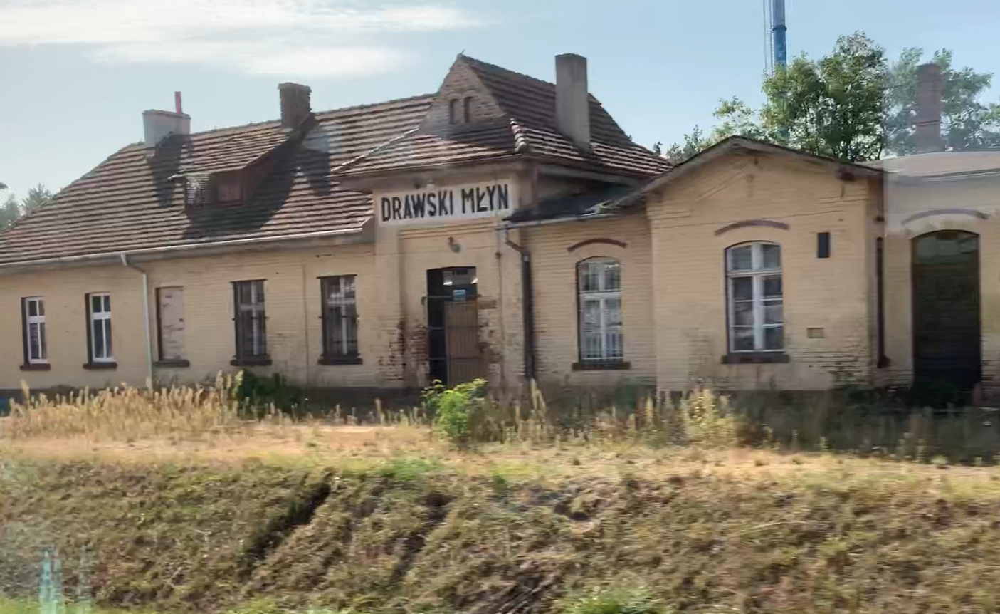
PKP Drawski Młyn. 2024
Drawski Młyn 2024-10-28 Drawski Młyn Railway Station. Geographic coordinates: 52.861N 16.093E. Elevation 42.00 m (137.80 ft). Address Drawski Młyn Dworcowa Street. Drawski Młyn. Drawski Młyn is a town in the Wielkopolska Province, in the Czarnkowsko-Trzcianecki district, in the Drawsko commune. In 2022, the town had 953 inhabitants. Provincial road No. 181 runs through the town.…
-
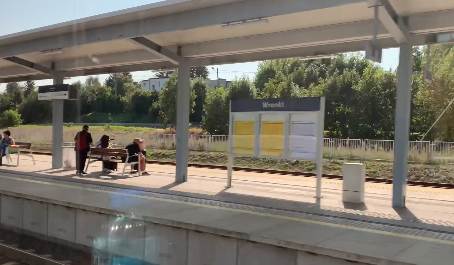
PKP Wronki. 2024
Wronki 2024-10-28 Wronki Railway Station. Geographic coordinates: 52.705N 16.386E. Elevation 54 m (177.17 ft). Address Dworcowa Street 2, 64-510 Wronki. The city of Wronki. The city of Wronki is located in the Wielkopolska province, in Szamotuły county. The city is the seat of the urban-rural commune of Wronki. The city has an area of 5.81…
-
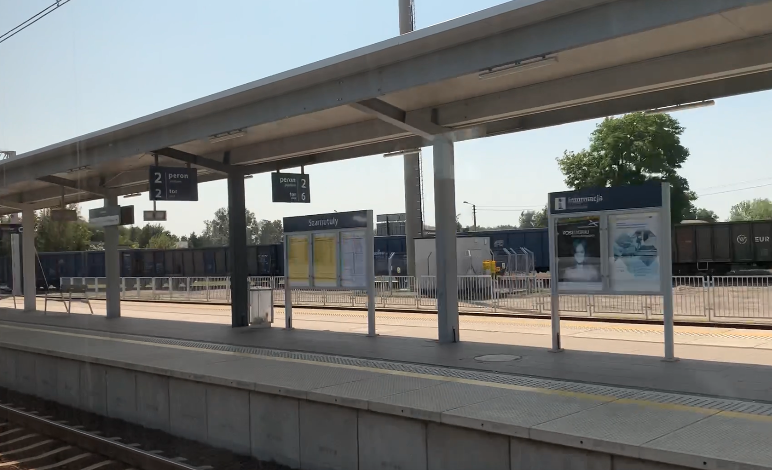
PKP Szamotuły. 2024
Szamotuły 2024-10-24 Szamotuły Railway Station. Geographic coordinates: 52.603N 16.585E. Elevation 68.00 m (223.10 ft). Address Dworcowa Street 40, 64-500 Szamotuły. Szamotuły is a city in the Wielkopolska Province, in the Szamotuły district, in the Szamotuły commune, 33 km from Poznań, to the north-west. The city’s area is 11.08 km2. The city’s population is 18,398 inhabitants…