Tarnów Opolski. 2024-09-28
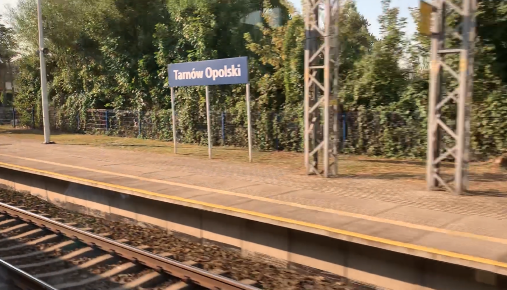
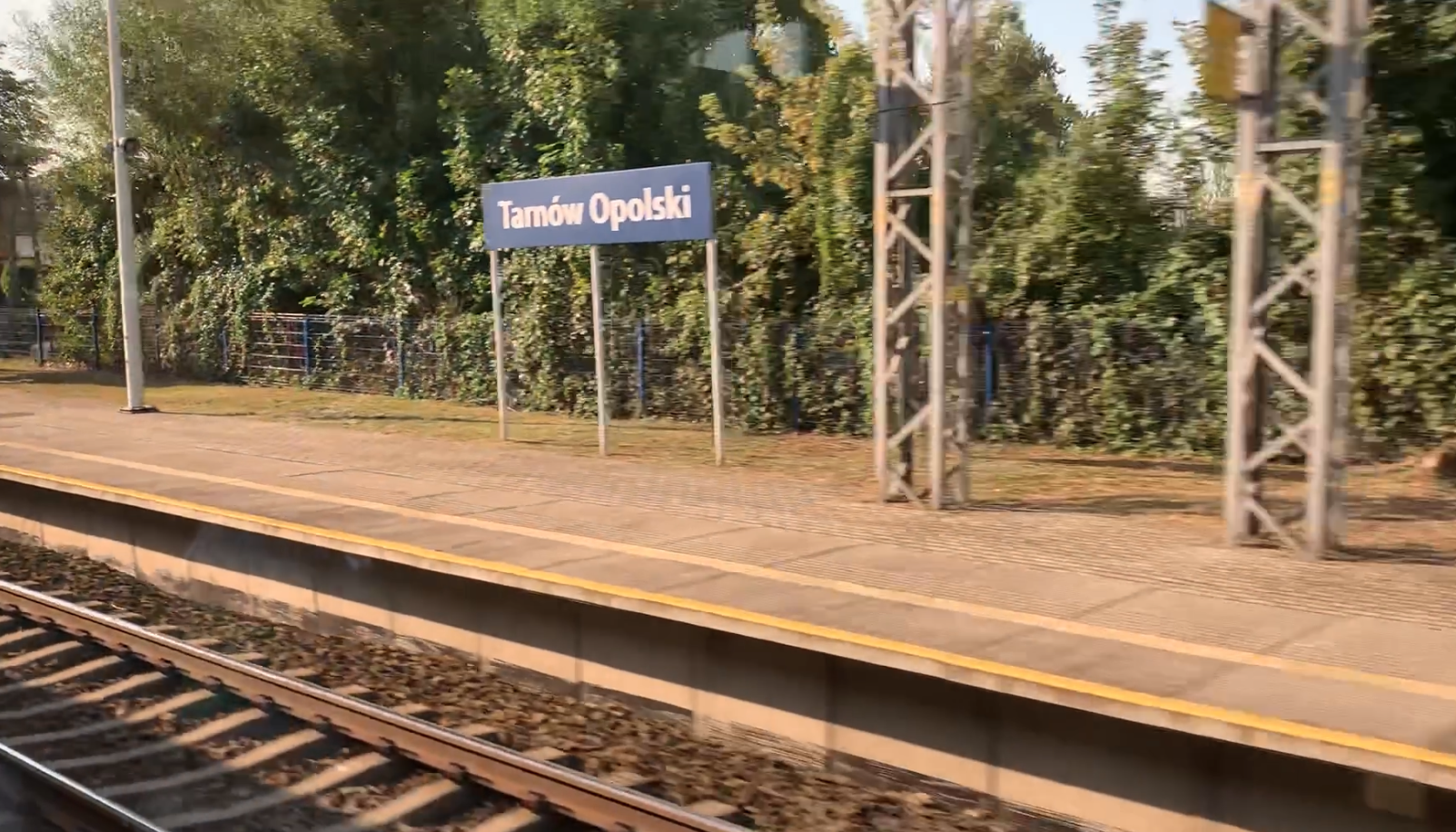
Tarnów Opolski Railway Station.
Geographic coordinates: 50.571N 18.077E. Elevation 177 m (580.71 ft). Address: Dworcowa Street 1, Tarnów Opolski.


Tarnów Opolski.
In Poland, the most famous city is Tarnów, which lies between Kraków and Rzeszów. But there is also Tarnów Opolski. Tarnów Opolski is a village in Poland, located in the Opole Voivodeship, in the Opole district, in the Tarnów Opolski commune. Historically, Tarnów Opolski belongs to Upper Silesia and was inhabited by Slavs. The town is the seat of the Tarnów Opolski commune. The population of the village is 3,269 inhabitants (2021).
The name Tarnów probably comes from the old Polish words “tarnie, tarnina”, which described the place where the plant grows or from the personal name “Tarn”. The settlement was originally called Tarnów Wielki to distinguish it from the nearby town of Tarnowiec. The Germanic name Tarnau is a Germanized form of the original Polish name Tarnów, derived from tarnina. The Geographical Dictionary of the Kingdom of Poland published in the late 19th century gives the Polish name of the town Tarnów Polski and the Germanic Polnisch Tarnau. The town’s coat of arms features a sloe branch on a red background, in reference to the name.
Excavations confirm that the settlement existed already in the early Middle Ages. The settlement was the property of the prince, and one of the owners was Bolesław I, the Duke of Opole. As early as 1447, the village had its own church. In 1493, the Dukes of Opole, Jan and Mikołaj II, gave the estate to a wealthy resident of Tarnów Opolski, on perpetual lease. The estate included an inn, a garden and a field of land, which was not fertile here. The residents lived mainly from breeding. In 1664, the village was destroyed by fire. In 1673, there were 5 tailors, 4 weavers, a butcher and a baker in the settlement. In 1783, there were 13 gardeners and 16 craftsmen in the village. In 1829, there were 95 houses in the village, and in 1844, there were 123 houses. In 1890, there were already 189 households. From the 16th century, lime was burned and traded in these areas. The lime industry developed in earnest in the 19th century. In the mid-19th century, there were already 10 lime kilns, which were fired several dozen times a year. However, in neighboring towns, new lime kilns were built, which were competition. Especially in Gogolin, where lime kilns were already fired with hard coal, which was cheaper than charcoal. Hard coal was already brought by rail. Another obstacle was the privileged position of Germans over the Polish population. To this day, the lime industry plays a significant role in the region.
In 1821, a primary school was founded. Its level was so high that graduates often continued their education in cities. In 1913, the local parish priest received permission to build a new church under the invocation of St. Martin, because the old church no longer accommodated the faithful. The new church received a 40 m high tower. The consecration took place on May 16, 1916, and the parish had about 2,600 believers. They all spoke Polish, the Silesian dialect. In Tarnów Opolski and the surrounding villages, 90% of the inhabitants were Poles. 40% of all inhabitants were bilingual. The Catholic Church was the foundation of faith and Polishness in these areas. Tarnów Opolski is a typical example of a village with a street-type development. Limestone was the basic building material in the village.
Tarnów Opolski Station.
Tarnów Opolski Station was built on the existing Opole–Gliwice railway line and was opened on October 1, 1878. Initially, the station was called Tarnau. In August 1945, the station was given the name Tarnów Śląski, but on February 1, 1947, the name Tarnów Opolski was adopted.
The station building, made of dark red brick, was built in October 1878 and has survived to this day in an unchanged form. There are extensions on both sides of the main building. The building is two-storey with a basement, and in the ground floor part it has a bay window, which housed the signal box. The building had a waiting room and ticket and luggage offices. There were apartments on the upper floor. Part of the building houses the Local Government Education Service Office. From the station square there is the main entrance to the building, and above the entrance there is an inscription “Tarnów Opolski”. The square in front of the station is paved. There are bus and minibus stops nearby.
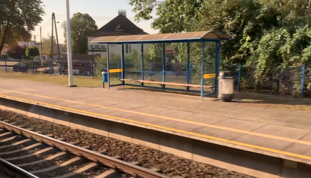
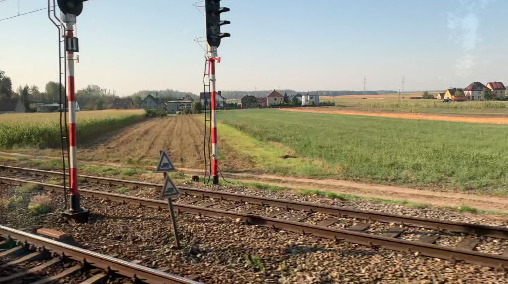
There are two single-edge platforms at the station. PolRegio trains stop at the station. The station is controlled by traffic lights. On October 3, 1960, the Wrocław–Gliwice route through Pyskowice, Strzelce Opolskie and Opole was electrified. A new railway signal box was built next to the station, on Dworcowa Street, in the 1950s. Dworcowa Street crosses the railway line with a rail-road crossing. The barriers are operated by a crossing keeper in the railway signal box. The Tarnów Opolski Commune Office is located near the station. The entire village of Tarnów Opolski is located on the north-eastern side of the railway tracks.
A railway siding runs from the station southwards to the Lhoist OpolWap lime plant (producer of hydrated lime) and to the Tarnów Opolski Opencast Lime Mine.
Kamień Śląski Airport.
Geographic coordinates: 50.529N 18.085E.
From the Tarnów Opolski train station, 6 km to the south is the Kamień Śląski Airport. The Kamień Śląski Airport was established around 1935 by the German army, with the intention of using it to attack the Republic of Poland. It was located next to the town of Kamień Śląski, among forests, far from important communication routes. It is 24 km to the center of Opole. On September 1, 1939, the 102nd Fighter Group (JGR-102) was stationed here with 45 Messerschmitt Bf 109 combat aircraft. The group was stationed here for only two days, preparing for an air attack on Poland. The Germans started World War II and lost many areas, including Kamień Śląski. After the front passed in 1945, the airport fell into the hands of the Soviets. Around 1950, the Muscovites built the first concrete runway (RWY). It was 1,500 m long and 40 m wide. They also built several other facilities. The Soviets were not interested in further development of the airport. There were several reasons, the first of which was the location. It was simply too far from the western border of Poland. Additionally, in the vicinity, despite large forests, there were several towns; Kamionek, Siedlce, Poznowice and of course Kamień Śląski. It was also close to the cities; Gogolin, Krapkowice, Strzelce Opolskie and Opole. All the towns were no further than 15 km away. Another reason was the two limestone mines operating nearby; Górażdże and Tarnów Opolski and a cement plant. And probably the last reason; the lack of a large military training ground nearby.
It is not known exactly in what year the Soviets moved out of the Airport and gave it to the Polish Army. It is possible that it happened even in 1970. Due to the almost complete rearmament of the Polish Air Force in supersonic combat aircraft, it was necessary to extend the RWY and modernize the infrastructure. It is known that the Airport became an alternate airport for the 39th PLM from Mierzęcice until 1987, and then as an alternate airport for the 2nd ELM in the period 1989-1999. However, in the second half of the 90s, the Squadron (2nd ELM) practically did not base itself there. The lack of a permanent host of the airport caused the facility to gradually fall into ruin. The administrator of the Airport was the AMW, which in 2003 sold the Airport to a private owner.
Written by Karol Placha Hetman

Leave a Reply
You must be logged in to post a comment.